Places around Coolatai
Locality guides for residents and visitors. Each page only lists entities with genuine geographical relevance.
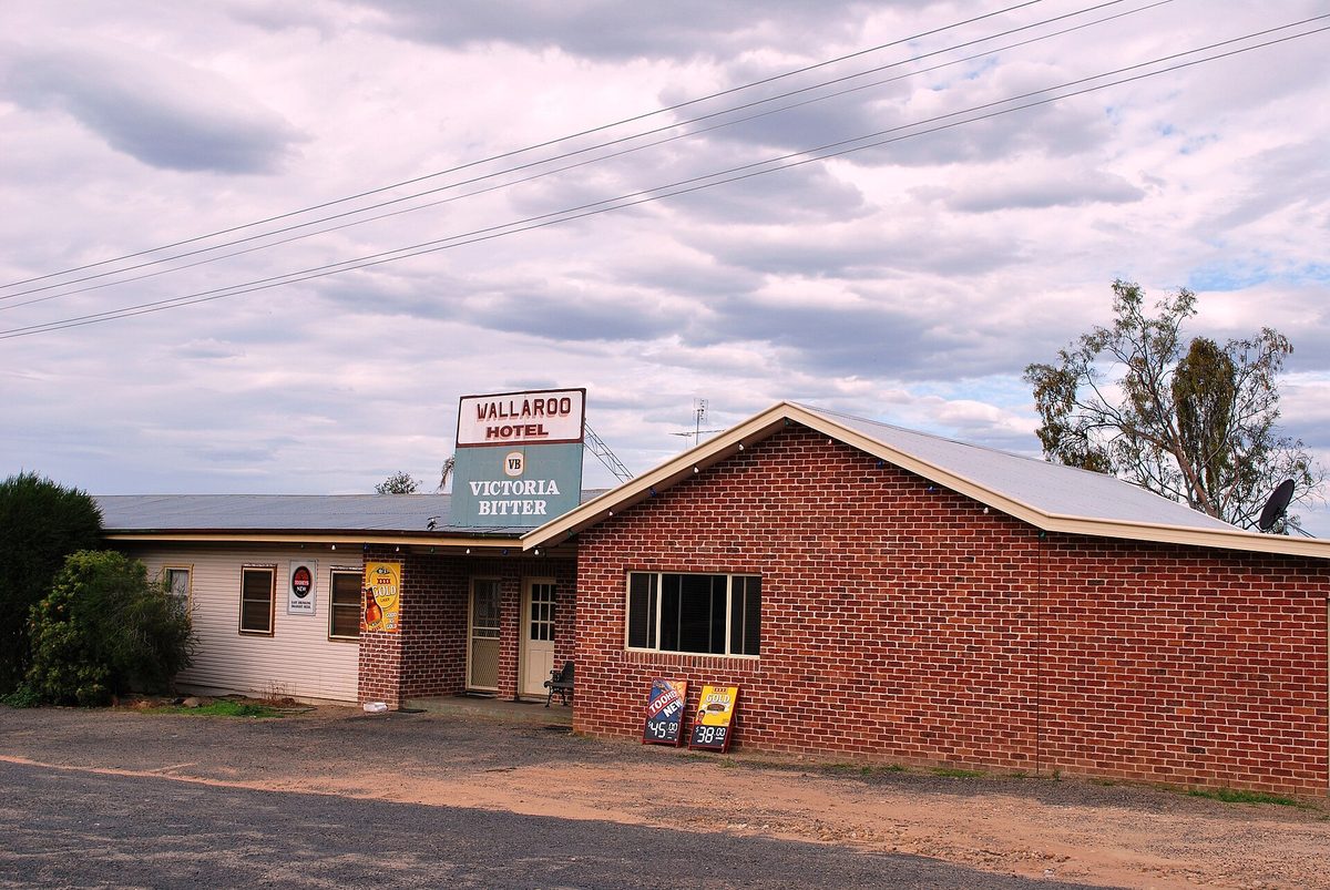
Coolatai
Tiny Ottleys Creek village on the quieter Warialda–Yetman touring run toward the Queensland border — hotel, sports-ground camping and bushland edges.
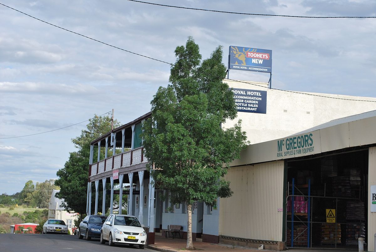
Warialda
Nearest full-service town south of Coolatai — groceries, hardware, cafés, visitor centre, pool and Cranky Rock access.
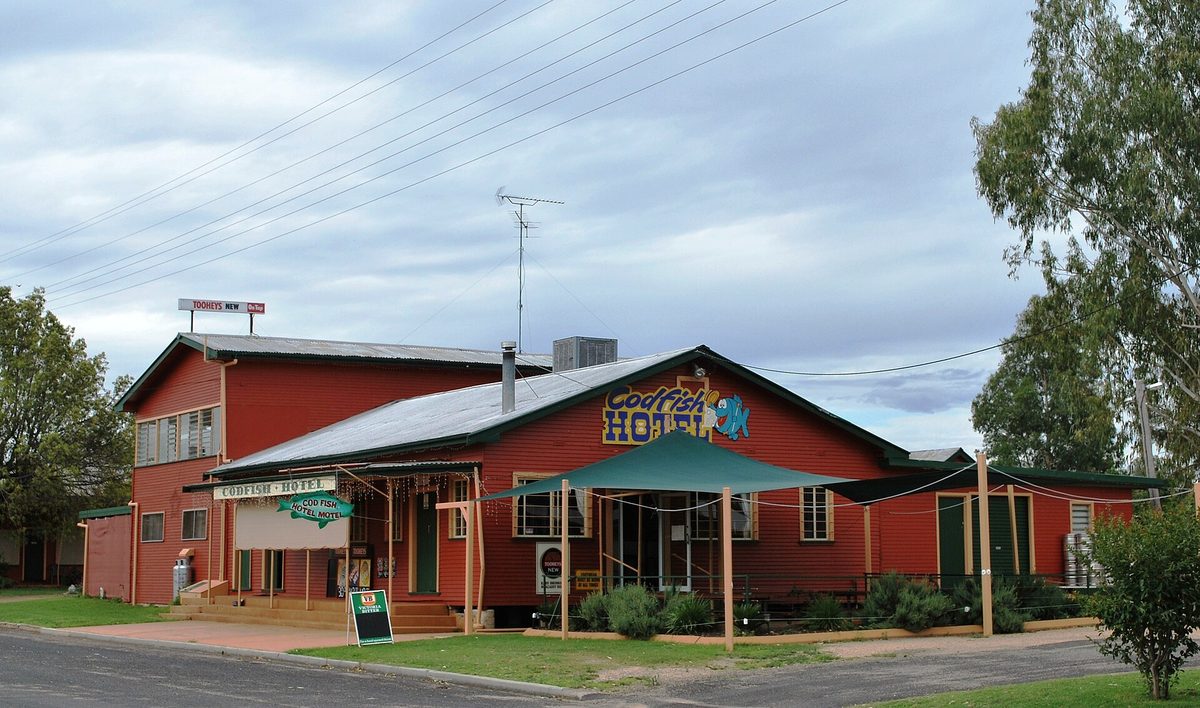
Yetman
Yetman sits north of Coolatai on the Bruxner Highway corridor toward the Queensland border, linked to cattle and rural industry.
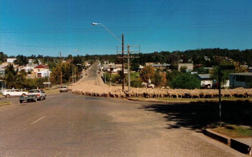
North Star
Grain and grazing village west of Coolatai — silos, sporting club, weekday store/post office and big-sky cropping country.
Croppa Creek
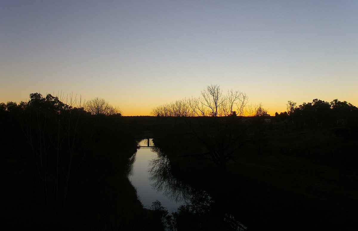
Small “golden triangle” cropping village with store, bowls club, donation camping and vintage machinery character.
Gravesend
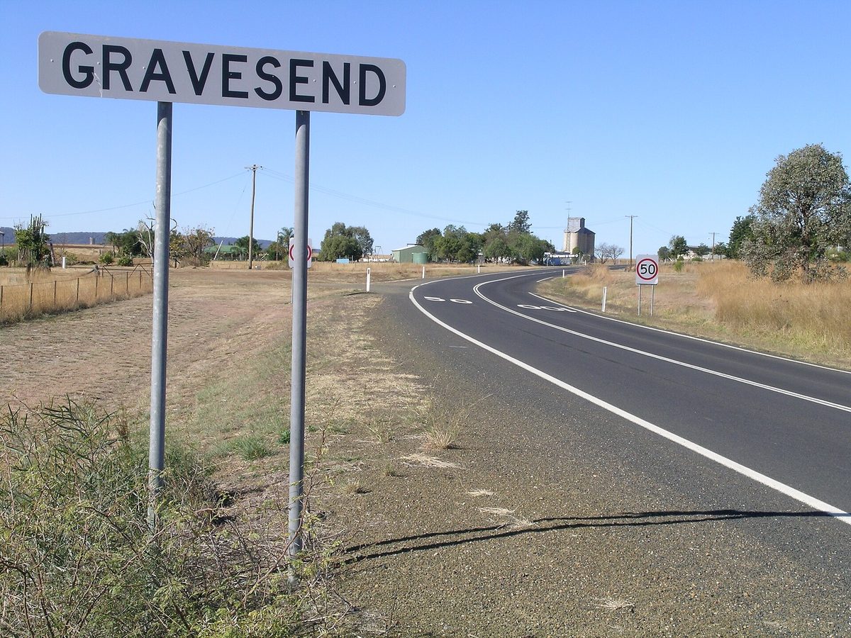
Gwydir Highway village with river camping, a busy general shop and notable road/rail bridges.
Warialda Rail
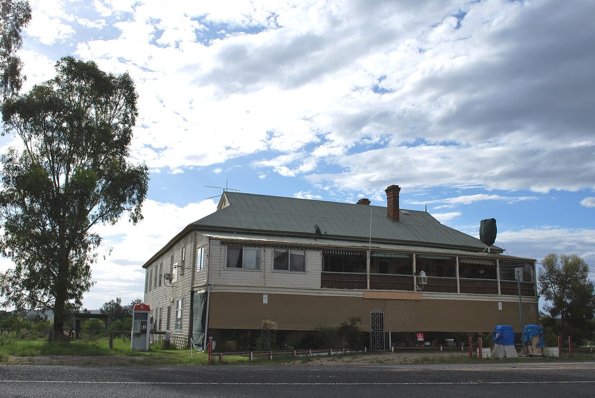
Warialda Rail is a rural locality near Warialda, reflecting the district’s railway-era settlement pattern.
Surrounding country
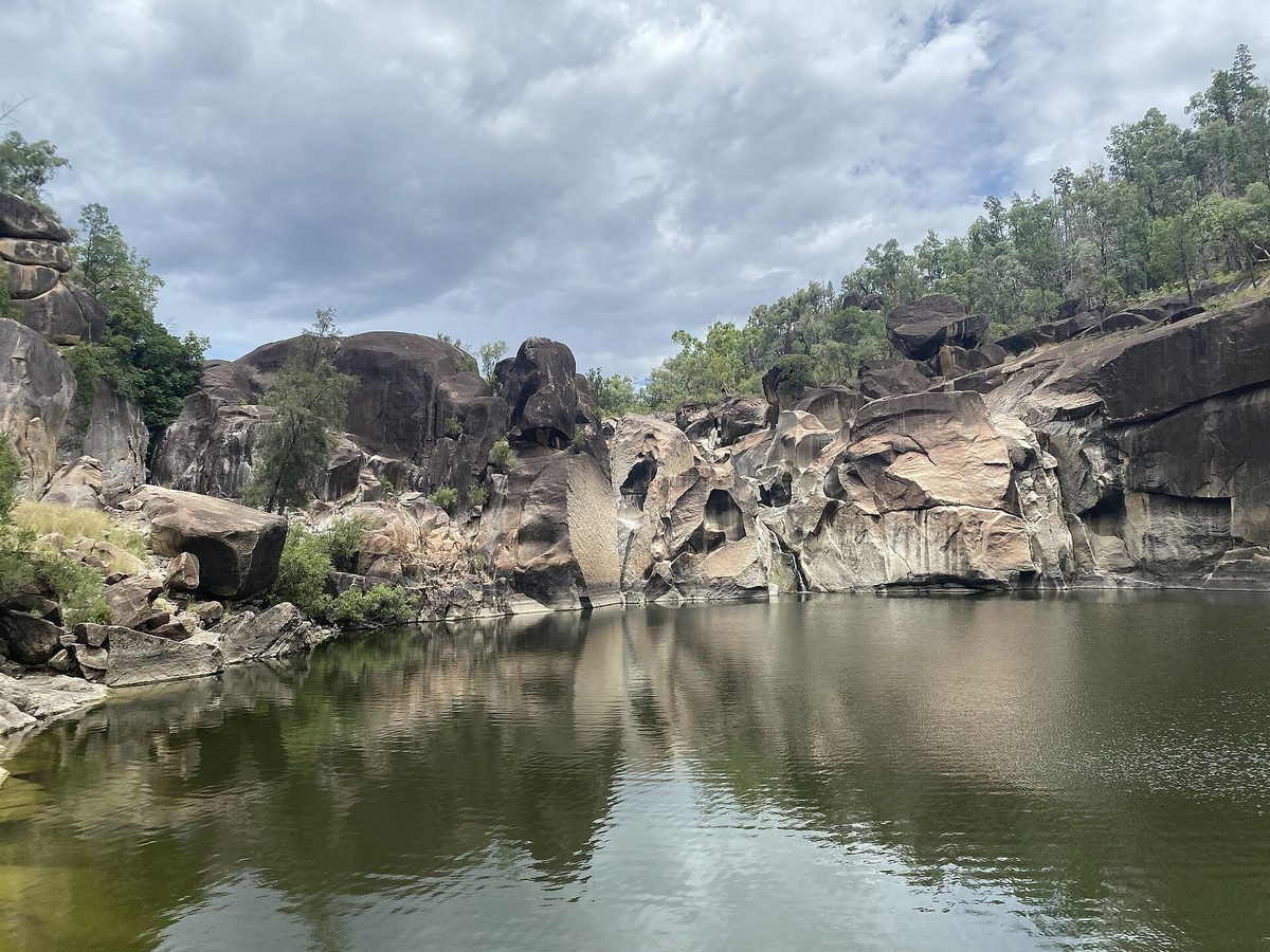
Farms, bushland and rural roads between Coolatai, Warialda, Yetman and the Queensland border.
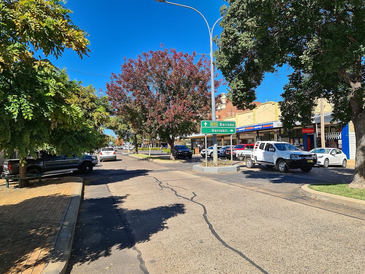
Bingara
Gwydir River town and “Gem on the Gwydir” — heritage main street, Roxy Theatre, fossicking country and a full visitor service hub.
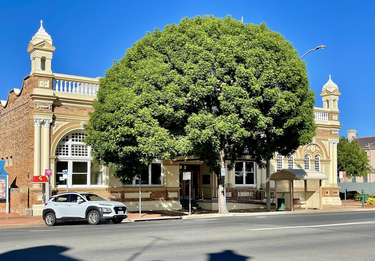
Inverell
Larger regional centre east of Coolatai country — major supermarket and retail option for travellers needing a full shop.
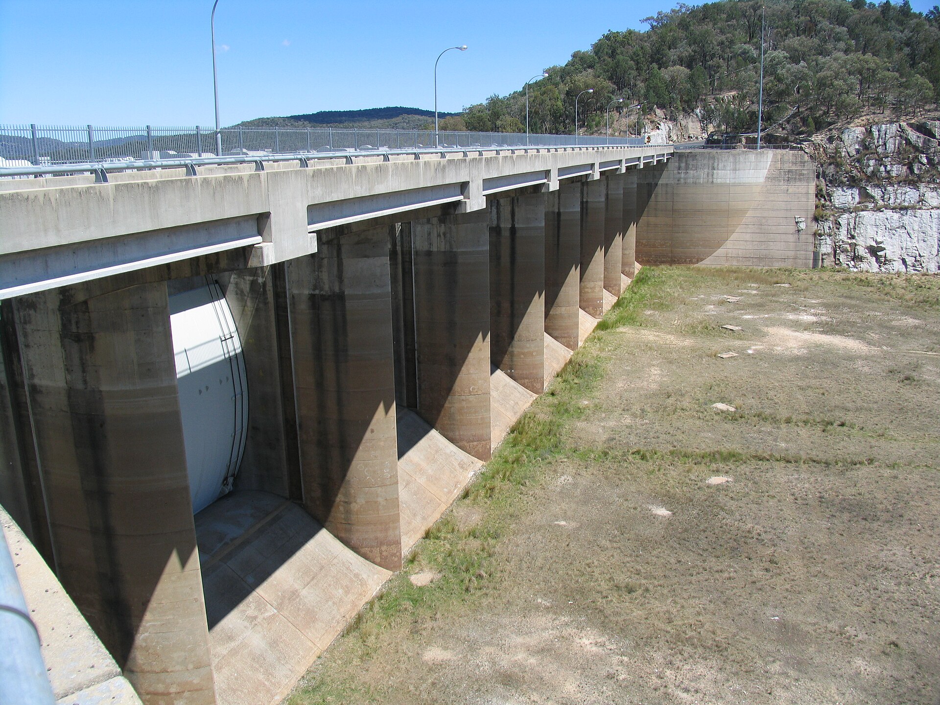
Upper Horton
Highest village in Gwydir Shire (about 384 m) between Horton River and Cobbadah Creek — Sports Club, camping and big New Year campdraft energy.